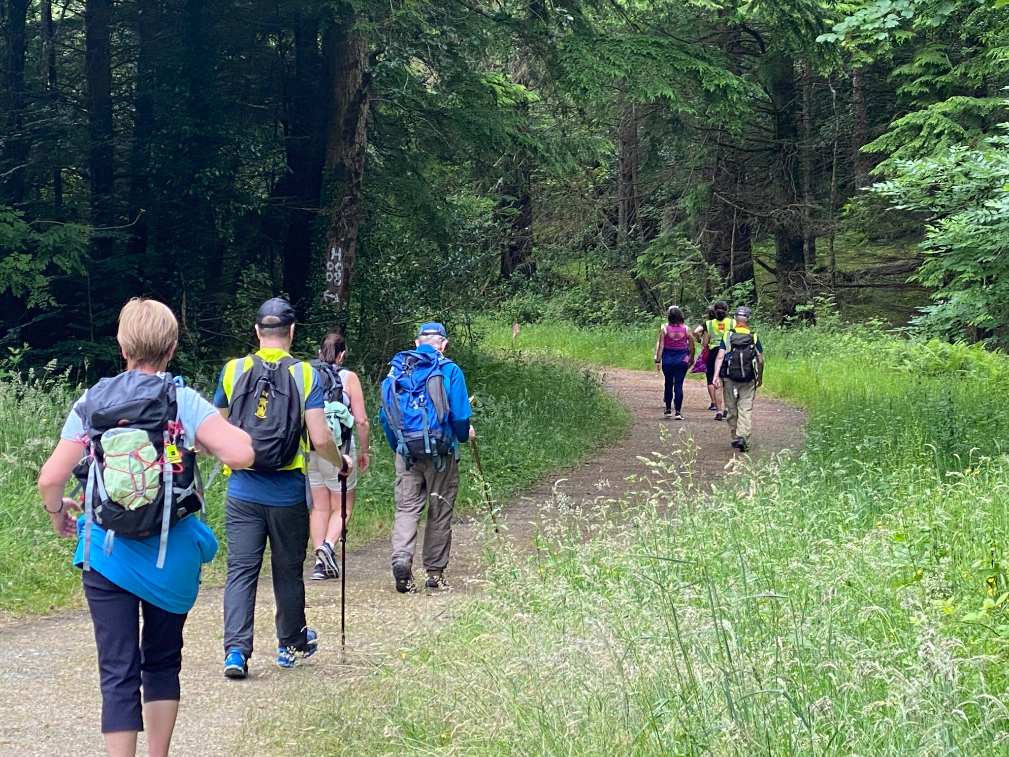
Slí Cholmcille

an experience like no other
Slí Cholmcillle

The Trail

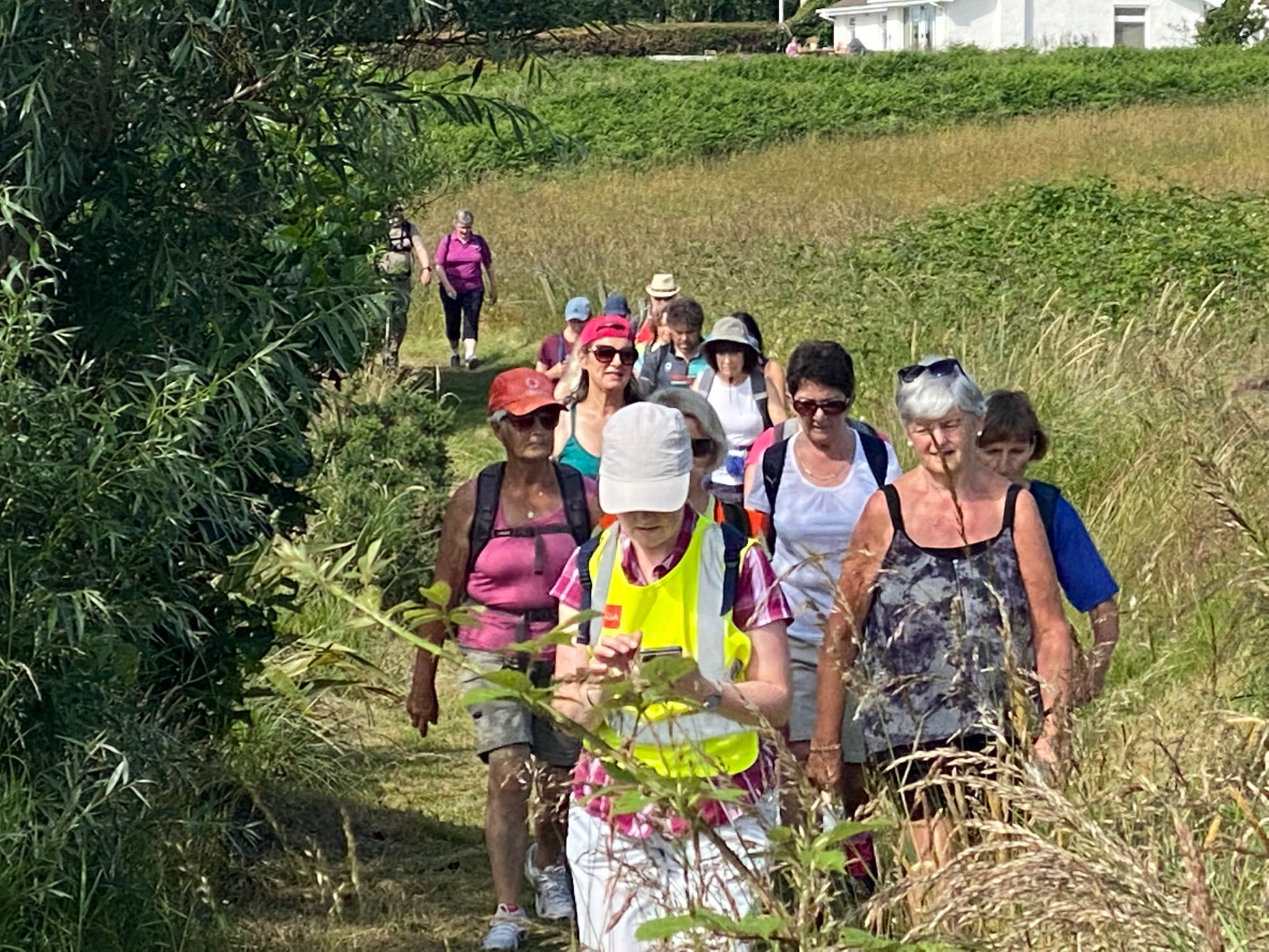
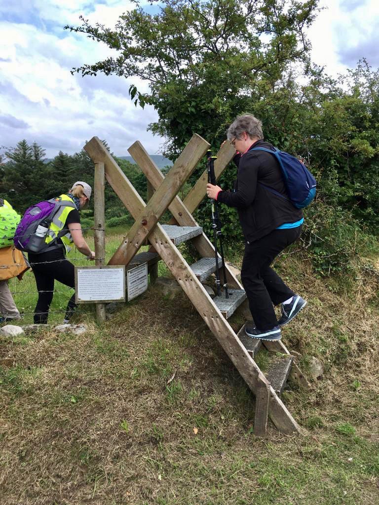
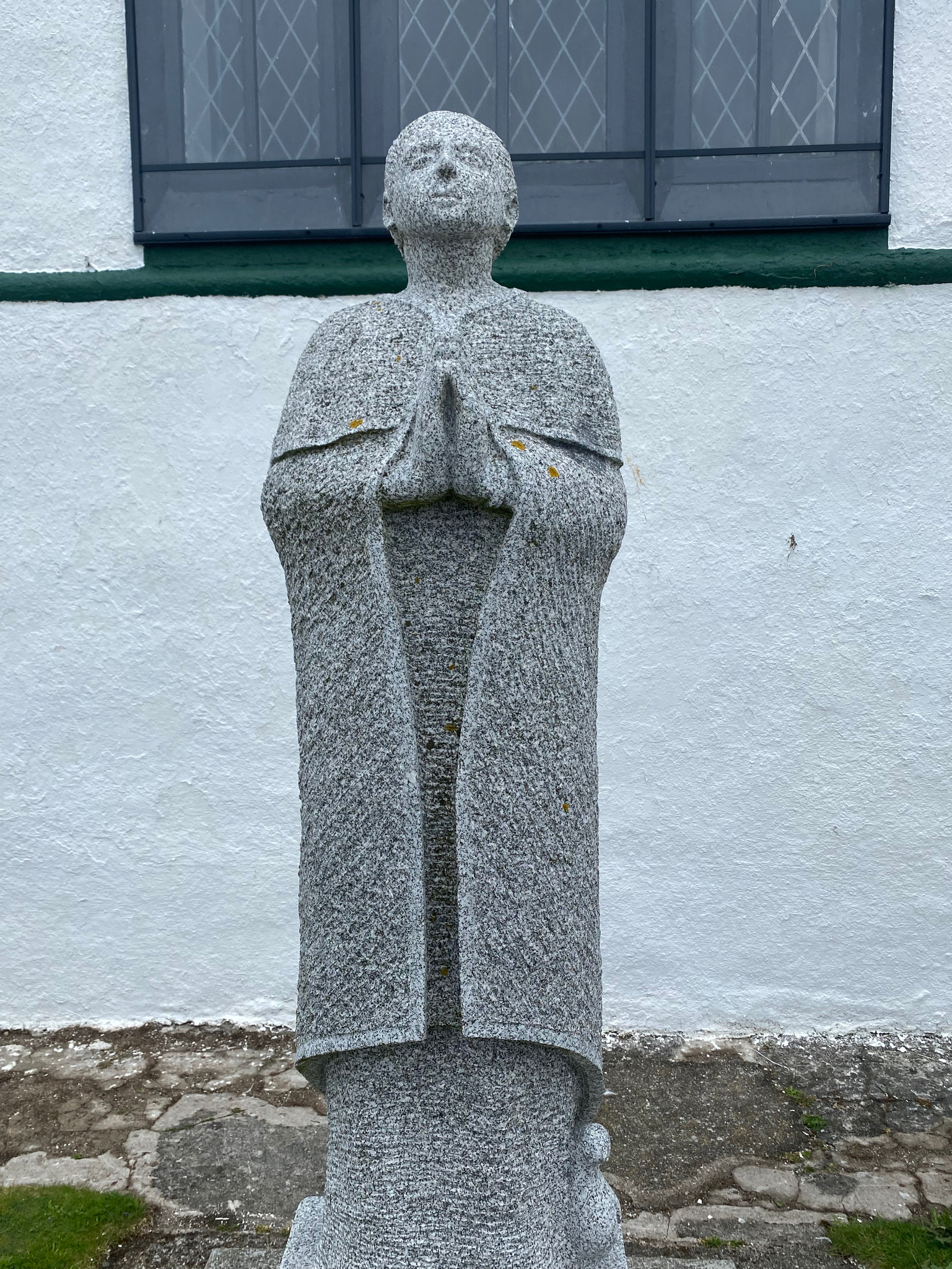
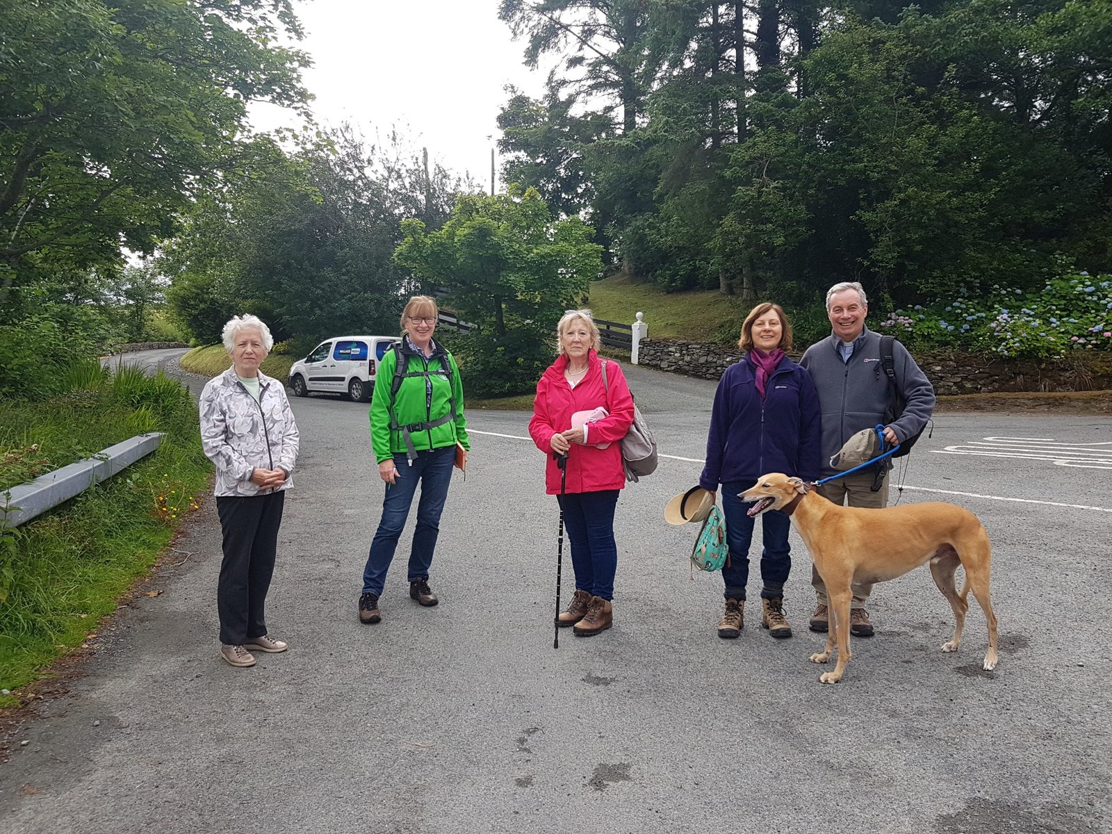
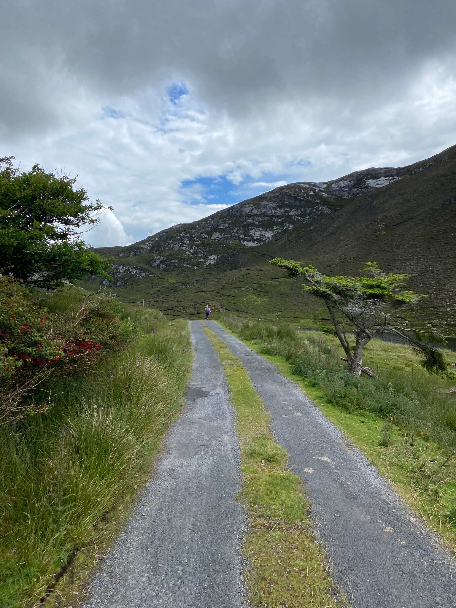
Slí Cholmcille is made up of stunning landscapes surrounded by coastal paths and mountains. It is a route which is steeped in heritage, culture, and adventure. The first part of the pilgrimage is ready to walk now, covering St. Columba’s life in Ireland before he left for Scotland.

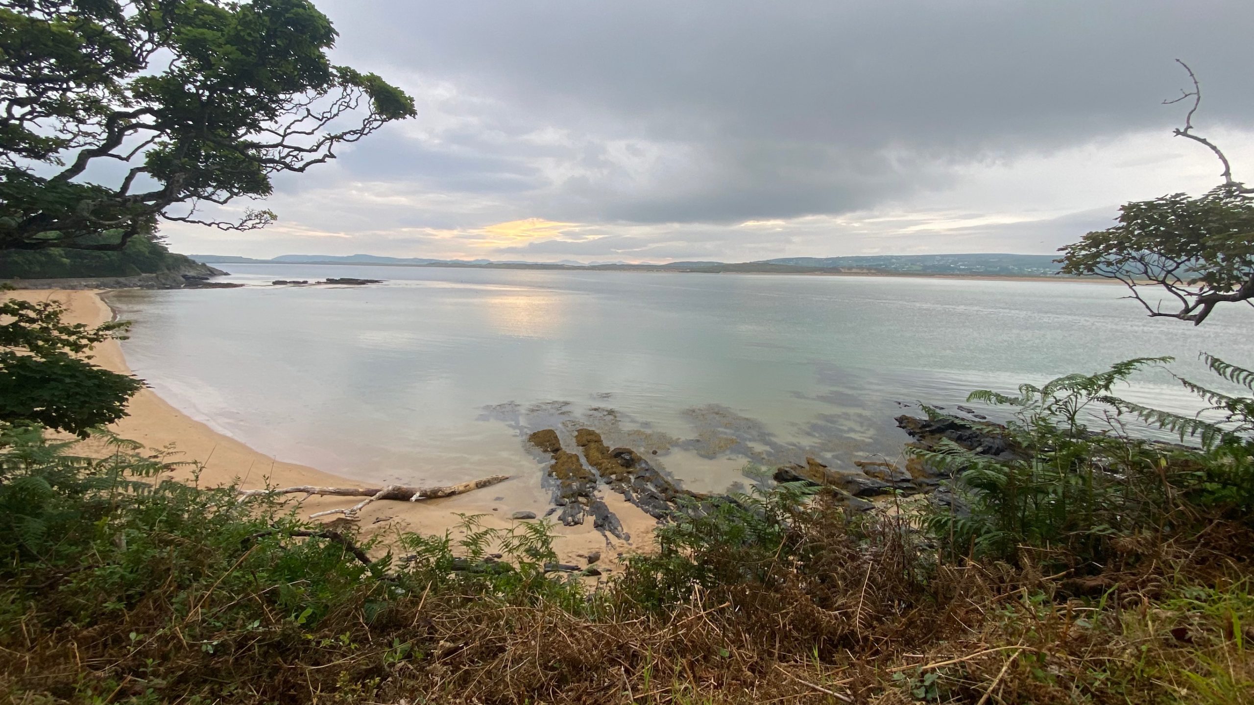
The trail begins in the area around Donegal Town, which is home to Columban Heritage sites such as the significant monastic site at Drumholme. Nearby is Glencolmcille, a stunning valley on the edge of the wild and rugged northwest Atlantic coastline. The route continues up through Ardara, Dungloe and Gweedore with an opportunity to travel to Tory Island.

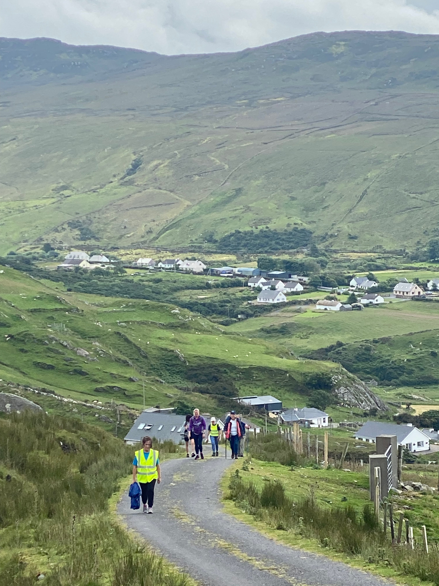
The next stop is through the parishes of Gortahork and Falcarragh, which are steeped in the history of Colmcille, where pilgrims can visit the Ray Cross. See the beauty of Ards Forest Park, then stroll through Glenveagh National Park which will lead you to Gartan, the place where Colmcille was born. Next stop is Kilmacrennan, where Colmcille received his early education, then walk through Letterkenny and Raphoe.

Stroll across the banks of the river Foyle as you arrive in Doire Colmcille, now known as Derry, which was founded by St. Colmcille. This is where Colmcille began his journey to Scotland, with a stop at Shroove on the east coast of Inisowen where the trail ends.

Slí Cholmcillle

Walking the Route

Slí Cholmcille is a section of the 280km Slí Dhún na nGall that circles around the remote landscapes of southwest Donegal. It is a 65 km route that connects the main towns and villages of the area, passing through spectacular unspoilt coastal and mountain landscape, including the lonely valley reaching down to the inlet of Port, and the dramatic valley of Glengesh. Although sparsely inhabited today, this area of Donegal was clearly well-populated in former times: the Glencolmcille area, in particular, is rich in prehistoric and early Christian monuments. The terrain consists mainly of tarmac roads, bog roads, and open moorland. Considerable stretches of the tarmac sections, although through wonderful landscape, are on busy, narrow roads, where care needs to be taken. Open moorland sections, which are quite isolated, can be very wet. The total aggregate ascent over the entire route is 1,600 metres. Overnight accommodation can be found at Glencolmcille, Kilcar, Carrick and Ardara.

Slí Cholmcillle

Maps

View the full route on Hiiker

Liability Disclaimer

The author of this site is not responsible for any damage, personal injuries or death as a result of the use of any information, maps, routes, or advice on this web site. Your use of the information on this website is at your sole risk.

In no event shall Sli Cholmcille, nor its directors or affiliates, be liable for any indirect, incidental, special, consequential or punitive damages, including without limitation, loss of profits, data, use, goodwill, or other intangible losses, resulting from the use of any information on this site.

All outdoor activities are carried out at your own risk.

hiking.jpg
hike-in-peru-PN2JCDP.jpg
hike-in-mountains-D7T74KX.jpg
hike-in-himalaya-BNZLZS5.jpg
mount-fuji-in-the-morning-GMA9MGN.jpg
in-hike-WZAWVGP.jpg

Explore Full Itineraries & Trip Ideas For Hiking

Lorem ipsum dolor sit amet, consectetur adipiscing elit, sed do eiusmod tempor incididunt ut labore et dolore magna aliqua

Gallery Of Our Tours

Journeys

Solo or Together – A Journey Lke No Other